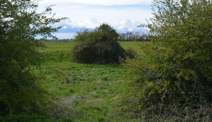
Next Wednesday (August 15), 10am to 3pm, people of all ages are invited to join experts from the Council’s Conservation and Archaeology Team and Magnitude Surveys, to map the remains of Civil War defences in Bury Field.
Pop along to help out and to see specialist equipment, including the latest state of the art ground penetrating radar (GPR) sensors, at work.
Jointly funded by Milton Keynes Council and the Bury Field Commoners Association, the project has been made possible thanks to a generous grant to the Commoners from the organisers of the well-attended Newport Pagnell Civil War Weekend held in 2016.
“The archaeological survey will provide a very worthy memorial to our highly successful efforts in the summer of 2016,” said Richard Meredith.
“Raising awareness of the defensive works was one of the original objectives of the Civil War Weekend and we hope that this site - which is deemed of national importance and a rare example of the defensive fieldworks of 350 years ago - can finally achieve the town's recognition it deserves.”
This Historic England endorsed project hopes to shed further light on their construction and extent beyond the visible earthworks. The results of the project will be displayed at this year’s MK Archaeology Day on Saturday, November 3 in the Church of Christ the Cornerstone.
If you are interested in joining the geophysics team, just turn up on the day.
People of all ages are welcome to participate.
Access to the field is via the Queens Avenue Car Park entrance off the High Street. Wear sensible footwear and bring waterproof clothing.
For further information or enquiries, email archaeology@milton-keynes.gov.uk